Utility-Scale Drone-in-a-Box Inspection
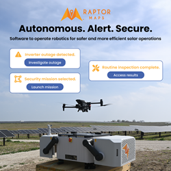
Raptor Maps collaborated with Enel, DJI, and UVT to conduct the first-ever DJI Dock solar site inspection in North America. Conducted on a 180+ MWdc site, Raptor Maps built the necessary mission planning software to direct the drone to conduct the inspection.
Raptor Robotics: Q&A with Raptor Maps
Raptor Robotics is one of our new products that enables the deployment of robotics technology (such as autonomous drones / drone dock technology) on utility-scale solar sites.
Valmont Records Longest BVLOS Drone Flight on the Wings of T-Mobile 5G
The Un-carrier helps Valmont capture mission-critical data in industry-first beyond visual line of sight (BVLOS) drone inspection operation
The Top 5 Roof Obstructions You Can't See With Satellite Imagery (But Can With Drones)
While it might be tempting to use satellite imagery to make an installation plan because it appears like a faster route, missing little obstructions results in more truck rolls, redesigns, and overall time to complete the project.
DroneBase Unveils First Solar Quality Rating System for Asset Conditions in the U.S.
The company brings transparency and increased safety to the U.S. solar industry with standardized ratings calculated by in-depth data captured through its North American Solar Scan
How Can the Utilities Industry Benefit from Robotics?
For the utility industry, these new robotics could offer significant benefits - and, in some cases, we're already beginning to see how the adoption of robots can make utility work safer and more productive.
Drone Powered by Solar Energy
Just like a satellite, SolarXOne is packed with technologies. Half airplane, half drone, this UAV weighs 25 kg, has a 4.50 m wingspan, and is innovative in several ways.
Using Aerial Imagery for Roof Measurements and Shading Analysis
Compared to the average cost of just one site visit and one change order - which, conservatively, can total $500 or more - an EagleView Inform™ report returns more than five times the investment in cost savings for a project.
Implementing Drones to Inspect Electric Utility Wires
It's plotting a new course to the destination utilities are already sailing to (a proactive condition based asset management) and that this new course or technology is often seen as a disruption first before realizing it as an opportunity.
SenseHawk Benchmarks the Condition of One of the World's Largest Solar Sites in Record Time
Combines Drones, Thermography and Its SenseHawk Therm AI-Powered Software to Analyze the Solar Modules of the 2,500-Acre Kamuthi Solar Power Project
Drone Imagery for Solar with Scanifly
A drone with a LiDAR sensor mounted to it can capture reality using an array of lasers to acquire coordinates which create a point cloud. The point cloud is then used to create a 3D model.
Energy Drone Coalition Releases Inaugural "Drones in the Energy Industry" Benchmark Survey Results
This first study precisely details how drones in the energy industry are a powerful tool with massive room for growth still ahead.
Case Study: Increasing Solar Inspection Efficiency with Drones
Comparing drone inspection time to relevant manual inspections across the 4 sites, we saw an increase in inspection efficiency of 97%. On a per MWdc basis, cost savings due to efficiency gains ranged from $1074 to $1717 per MW, for an average of $1254/MW cost savings.
Xcel Energy is the First U.S. Utility to Operate Drones beyond Line of Sight for Ongoing Inspections
In one of the most significant advancements of unmanned aircraft under development by a U.S. utility, Xcel Energy is operating drones beyond visual line of sight during ongoing inspections of transmission lines near Denver.
Drones in the Wind Industry
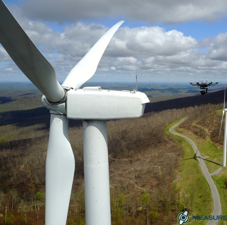
Drone-based inspections provide cost reduction and revenue enhancement opportunities of over $600/turbine when compared to ground-based inspections. The savings value is two folds ($1200/turbine) when compared to corrective/reactionary maintenance.
Records 1 to 15 of 19
Featured Product

Raptor Maps - The integrated operating system for end-to-end solar management
Operate autonomous drones and other robotics technology on your solar farms with Raptor Maps' robotics operations platform. Our end-to-end solution allows you to build and schedule data collection missions, to analyze collected data through our analytics engine, and to address identified issues through our remediation intelligence suite. From construction monitoring to substation inspections to SCADA-alert generation missions, Raptor Robotics gives your team unparalleled insights into the health and status of your project. Improve the safety, efficiency, and scale of your operations with Raptor Robotics.


 (1).jpg)


.jpg)


