Mapping the Solar Potential of Every Rooftop
The engineering company CH2M Hill is now joining hands with the U.S. Department of Energy to provide Internet solar maps of 25 American cities, using Google Earth technology to chart the precise solar potential of neighborhoods, literally rooftop by rooftop. The company has just finished mapping all of San Francisco, allowing residents to enter their address and take the solar measure of their own home. "People in San Francisco think we don't have any solar potential,' says Gavin Newsom, the city's deep-green mayor. "But the map shows we have a lot more sun than you'd believe." Time Magazine Source.
Comments (0)
This post does not have any comments. Be the first to leave a comment below.
Featured Product
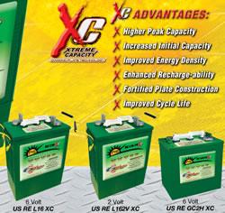
U.S. BATTERY RENEWABLE ENERGY SERIES DEEP CYCLE BATTERIES
Our RE Series batteries are designed to provide the highest peak capacity, longest cycle life, and greatest reliability for use in industrial or residential renewable energy applications. Renewable Energy Series batteries utilize the company's exclusive XC2™ formulation and Diamond Plate Technology® to create the industry's most efficient battery plates, delivering greater watt-hours per liter and watt-hours per kilogram than any other flooded lead-acid battery in the market. Our Deep Cycle batteries are engineered to work with solar panels as well as other renewable energy applications.